

Afghanistan
3 cities · 7 ready itineraries
Country guide
Plan a trip to Afghanistan
Afghanistan, officially the Islamic Emirate of Afghanistan, is a landlocked country located at the crossroads of Central and South Asia. It is bordered by Pakistan to the east and south, Iran to the west, Turkmenistan to the northwest, Uzbekistan to the north, Tajikistan to the northeast, and China to the northeast and east.
Occupying 652,864 square kilometers (252,072 sq mi) of land, the country is predominantly mountainous with plains in the north and the southwest, which are separated by the Hindu Kush mountain range. Kabul is the country's capital and largest city.
Afghanistan's population is estimated to be between 35 and 50 million.
Cities in Afghanistan
Open a city for 3, 5, 7, and 10-day walking plans.
3 destinations
 2 itineraries
Herat
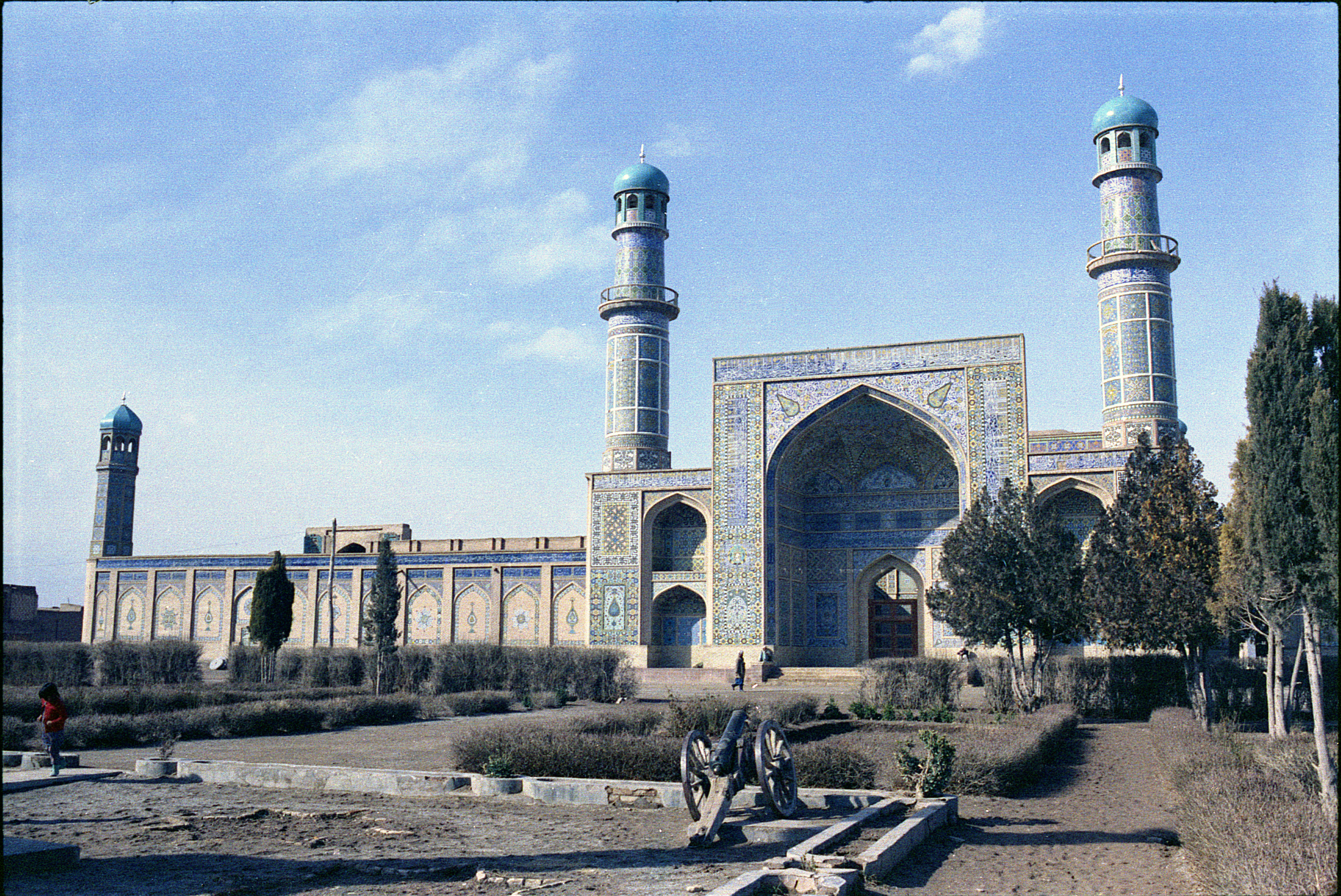
Herat, also written as Harat or Hirat, and historically known as Haraiva, Horeiva and Hires, is a major city in western Afghanistan, serving as the capital of Herat Province and the Herat District.
View plans →
 1 itineraries
Kandahar
Kandahar is a city in southern Afghanistan, serving as the capital and largest city of Kandahar Province.
View plans →
- 4 itineraries
Kabul
Kabul is the capital and largest city of Afghanistan.
View plans →
Ready itineraries
Day-by-day routes you can open and follow.
Before you go
Connectivity and cover for Afghanistan.
- Stay onlineeSIM for AfghanistanCity coverage is usually fine. Download maps offline for side trips.Compare plans →
- Travel coverInsurance for AfghanistanMedical cover and theft basics before you fly.Read the guide →
- Suggested startHeratHerat, also written as Harat or Hirat, and historically known as Haraiva, Horeiva and Hires, is a major city in western Afghanistan, serving as the capital of Herat Province and the Herat District.Open city hub →